


Predict Risk from Space. Prevent Loss on the Ground.
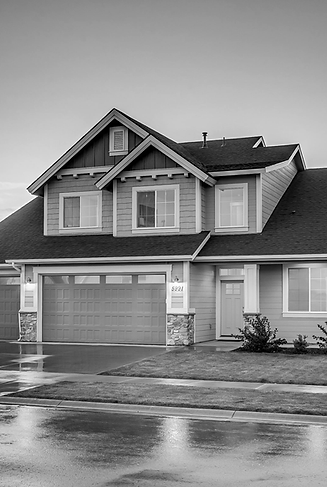
Caelus moves you from reactive loss management to proactive risk control - reducing losses by millions while strengthening your reputation. We detect subsidence, landslides, sinkholes, and structural movement years in advance, delivering continuous monitoring tailored to your engineering and insurance priorities.
PRECISE, CONTINUOUS INSIGHTS
Caelus.Space transforms asset management into a precise, data-driven system. Our proprietary core platform integrates multiple sensing domains alongside dozens of custom ML, DL, and language models - delivering flexibility, high accuracy, and continuous adaptation for global-scale infrastructure monitoring and risk management.
2mm
Data Accuracy
30+
Satellites in Orbit
360
°
Global Coverage


OUR SOLUTION

Predict Risk Early

Portfolio Management

Reduce losses
Early prediction of dangerous structural movements to prevent subsidence, sinkholes, landslides, and infrastructure failure before damage occurs.
Automatic detection, mapping, and monitoring of assets - enabling smarter, data-driven infrastructure and property portfolio management.
More than 90% reduction in potential damage costs, while significantly decreasing inspection time and operational workload.
THEY TRUSTED US


