Nationwide Mapping
Scope of the challenge
The environment is constantly changing. In order to show you how your site or insured property is affected by these changes, we have developed a mapping system that can handle:
- Natural Disasters: Floods and wildfires cause damages estimated in the billions each year, including water damage and vegetation shifts. For example, in 2022, floods, and wildfire damages in the U.S. were estimated at $5.5 billion annually.
- Human-Induced Changes: Air pollution, light pollution, and water contamination lead to significant economic losses. For instance, the cost of light pollution in the U.S. is estimated at $3billion annually and air pollution lead to 200,000 deaths yearly.
-

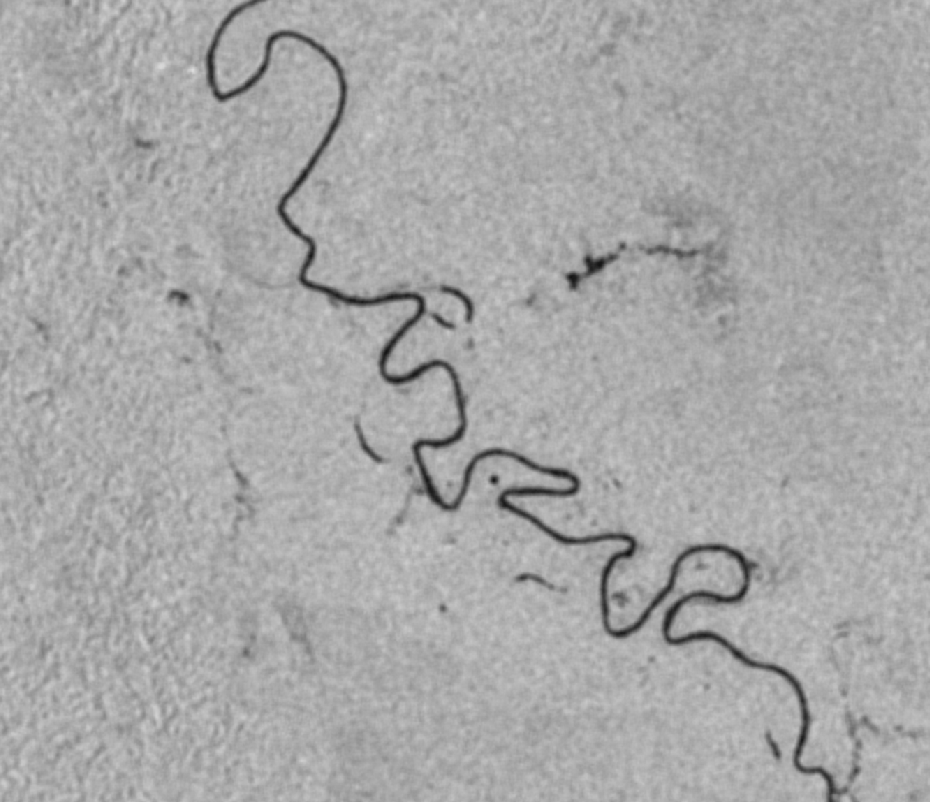
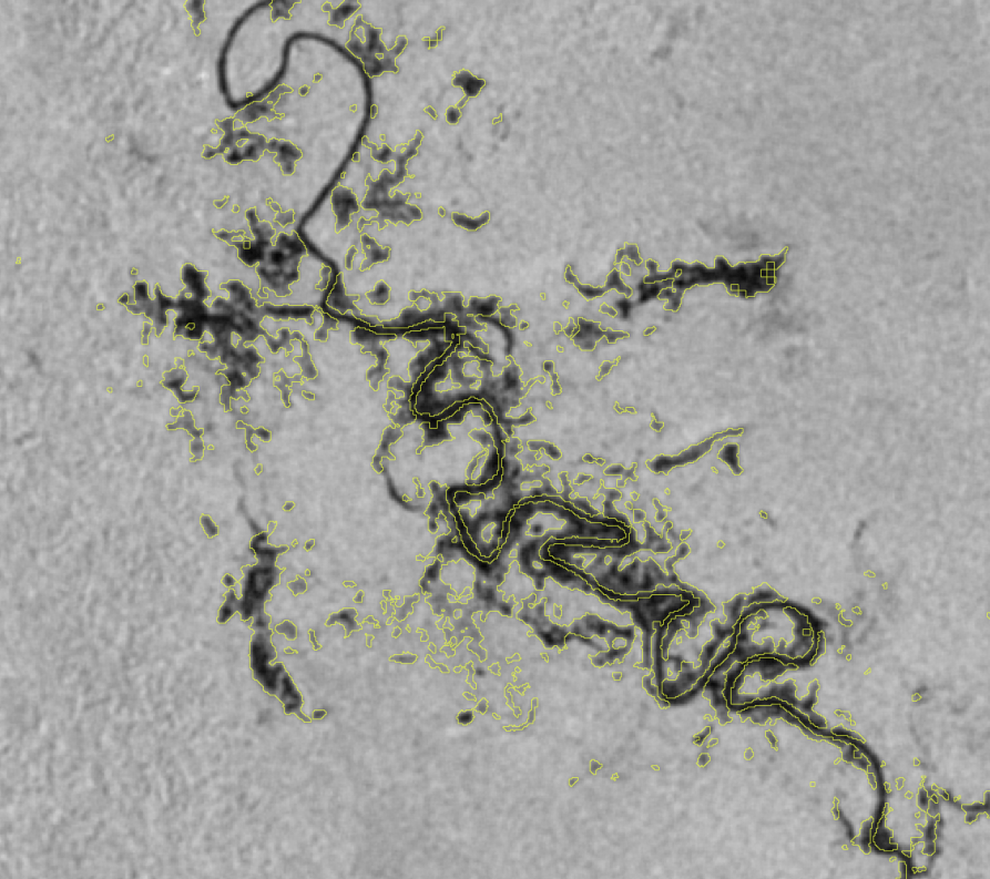
Philippines Floods Mapping
Flooding is a natural disaster that threatens infrastructure and communities, as heavy rainfall or snowmelt overwhelms the ground, causing significant damage. Floods damage buildings, roads, and disrupt daily life, leading to high repair costs and prolonged recovery.
South Philippines


Infrastructure mapping
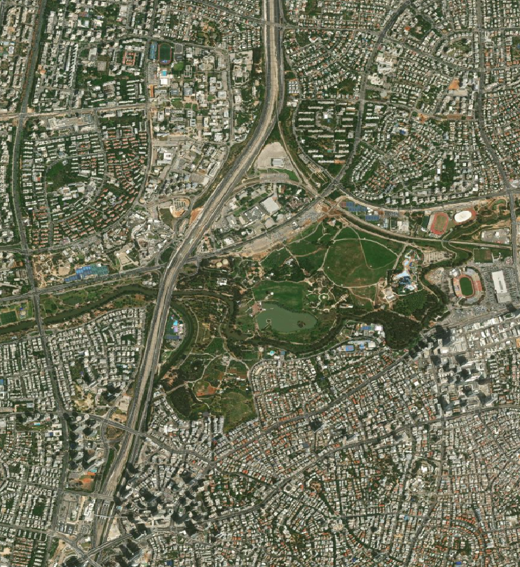
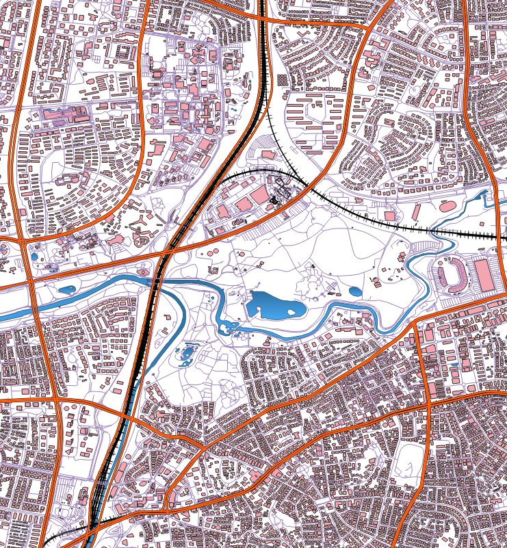
As long as the infrastructure has a surface expression, we can map it extensively. For example, water facilities, buildings, roads, and railways are some of the examples shown in the images below of central Tel Aviv's dense urban area.


Scope of the challenge
The environment is constantly changing. In order to show you how your site or insured property is affected by these changes, we have developed a mapping system that can handle:
- Natural Disasters: Floods and wildfires cause damages estimated in the billions each year, including water damage and vegetation shifts. For example, in 2022, floods, and wildfire damages in the U.S. were estimated at $5.5 billion annually.
- Human-Induced Changes: Air pollution, light pollution, and water contamination lead to significant economic losses. For instance, the cost of light pollution in the U.S. is estimated at $3billion annually and air pollution lead to 200,000 deaths yearly.
-
Philippines Floods Mapping
Flooding is a natural disaster that threatens infrastructure and communities.
South Philippines
Before Rai

After Rai

Infrastructure mapping
As long as the infrastructure has a surface expression, we can map it extensively. For example, water facilities, buildings, roads, and railways are some of the examples shown in the images below of central Tel Aviv's dense urban area.

